The study sites are located in areas affected or sensitive to land degradation and desertification
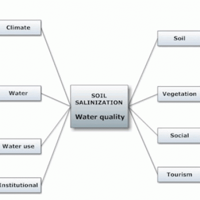
by a variety of processes and causes such as soil erosion, soil salinization, water stress, overgrazing, forest fires, and urbanization. The main biophysical and socio-economic factors affecting desertification are adverse climatic conditions, sloping terrain, moderately deep or shallow soils, moderate availability of water resources over-exploited in many cases, relatively frequent fires in forested areas, usually intensively cultivated the agricultural land or overgrazed the grazing land, inadequate measures for land protection, low or moderate implementation of existing regulations for environmental protection.
Under the mentioned land and management characteristics, the study field sites are mainly characterized by high or moderate desertification risk. Very high desertification risk has been defined in 18% of the study field sites (Fig. 3). The analysis for each study site separately shows that some field sites have high percentage of desertification risk. Specifically, very high desertification risk has been defined in all the study field sites in Rendina Basin Basilicata-Italy due to high erosion rates caused by surface water runoff and tillage operations. Also, very high desertification risk due to soil erosion and water stress has been identified in the Santiago Island-Cape Verde, and Zeuss-Koutine-Tunisia study sites, covering 57.3% and 43.3%, respectively, of the corresponding study field sites. Very high desertification risk has been estimated in 40% of the study field sites in the Nestos Basin Maggana-Greece, caused exclusively by soil salinization due to poorly drained soil conditions and the low quality of groundwater. In the field sites of the Mação Gois- Portugal, Guadalentin Basin Murcia-Spain, Boteti Area-Botswana, Mamora Sehoul-Morocco, Loess Plateau-China, Secano Interior-Chile, Crete-Greece, and Cointzio Catchment-Mexico study sites high desertification risk has ranged from 3.3% to 23.0% due to soil erosion, soil salinization, and forest fires.
High desertification risk has been assessed in most of the cases of the study field sites covering 37.4% (Fig. 3) considered all field sites together. This class of desertification risk has been defined in all field sites of Konya Karapinar and Eskisehir Plain-Turkey study sites, caused mainly by surface water runoff. The next important percentage of high desertification risk has been assessed for the study sites of Novij Saratov and Djanybek-Russia, Boteti Area-Botswana, and Mamora Sehoul-Morocco, covering 61.4%, 48.1%, and 47.5% of the total study field sites, respectively, caused mainly by soil erosion, soil salinization, water stress, and overgrazing. High desertification risk has been estimated for some of the study sites of Nestos Basin Maggana-Greece, Crete-Greece, Mação Gois- Portugal, Guadalentin Basin Murcia-Spain, Zeuss Koutine-Tunisia, Boteti Area-Botswana, Loess Plateau-China, Secano Interior-Chile, Cointzio catchment-Mexico, ranging from 16.4% to 35.6% of the study field sites, caused mainly by soil erosion, water stress, soil salinization, overgrazing, and forest fires.
Figure 3. Distribution of desertification risk defined in the various study sites of DESIRE project
Moderate desertification risk has been defined in 23.3% of the total study field sites (Fig. 3). This class of desertification risk has been estimated in all study sites except for Rendina Basin Basilicata-Italy, Karapinar and Eskisehir Plain-Turkey, in a percentage ranging from 16.0% to 45.5% of the study field sites in each area. The main processes responsible for this class of desertification risk are soil erosion, soil salinization, water stress, and overgrazing.
Low or no desertification risk has been defined in some of the study field sites covering 13.6% and 7.7% of the total field sites. The highest number of field sites characterized with slight or no desertification risk has been estimated in the study sites of Loess Plateau-China, Gois and Mação-Portugal, and Secano Interior-Chile covering 44.5%, 44.4%, and 50% respectively. About 1/3 of the study field sites of Crete-Greece, Guadalentin Basin Murcia-Spain, and Cointzio catchment-Mexico have been characterized by these classes of desertification risk. Low to no desertification risk has been defined in few field sites of Nestos Basin Maggana-Greece, Zeuss Koutine-Tunisia, Boteti Area-Botswana, Santiago Island-Cape Verde, and Mamora Sehoul-Morocco, ranging from 3.3% to 14.6%.


